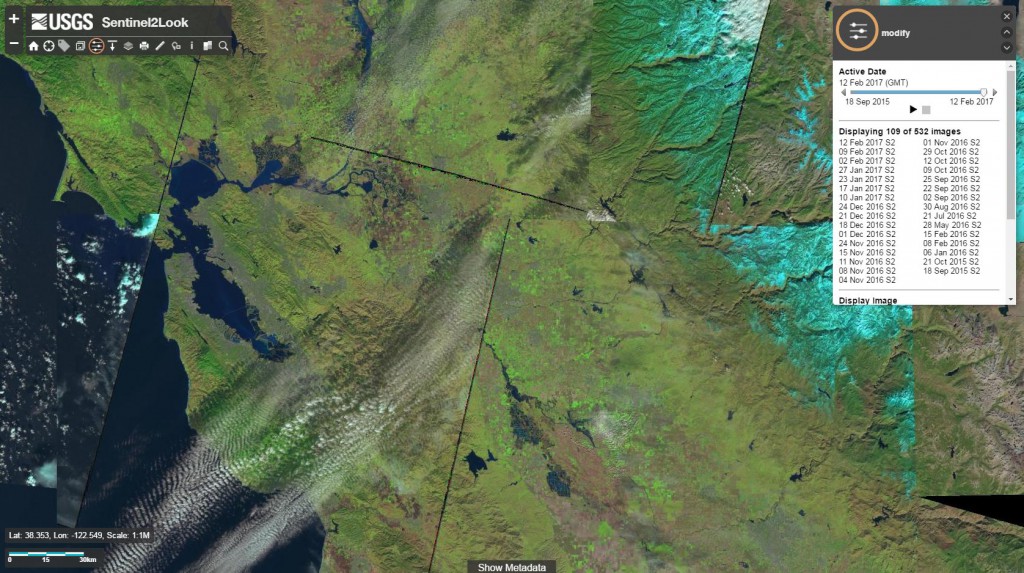
New Sentinel-2 image viewer application
The Sentinel2Look Viewer allows you to search and browse Sentinel-2 data on criteria such as the area of interest, date of acquisition and the level of cloud cover. A very interesting functionality is the ability to compare satellite scenes within a defined period of time. The imagery can be displayed on various base maps provided by Esri. Moreover, the application allows you to measure distance and area, as well as to export selected images to various graphic formats, including GeoTIFF.
The Sentinel2Look Viewer works on a similar principle as LandsatLook application dedicated to Landsat images, available already for a long time. Both applications are intuitive, easy to use, and facilitating fast access to the desired data. Similar applications are: Copernicus Open Data Hub, Sentinel Playground and SentinelMap.eu.


