Training for officers of the State Fire Service from the Silesian Voivodeship
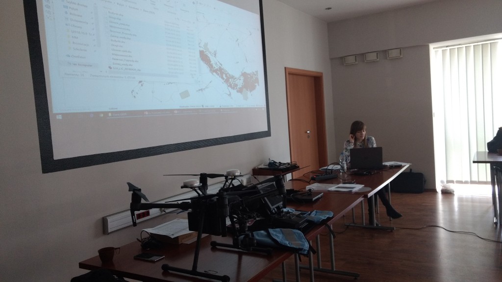
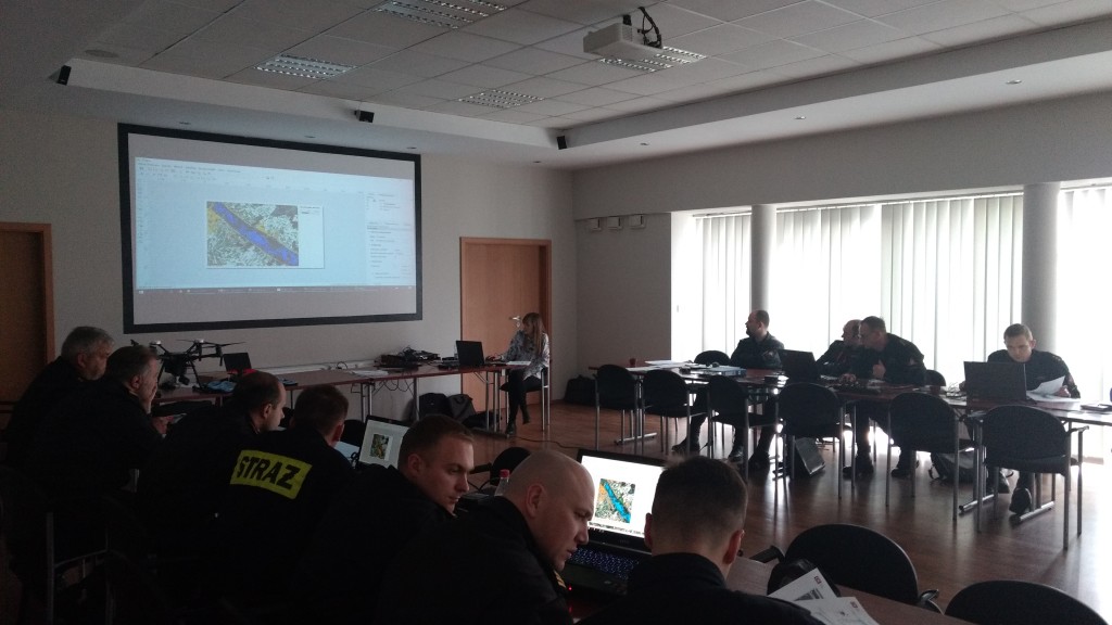
On 10th of April 2019 Crisis Information Centre team conducted training on Geographical Information Systems and remote sensing for the State Fire Service officers. The training session took place in the Rescue and Firefighting Unit No. 1 in Katowice - Szopienice.
The aim of the training was to familiarize officers with the theoretical issues related to Geographical Information Systems, types of spatial data, remote sensing and seleced Earth Observation systems. The participants got to know the basic issues connected with:
- spatial data division and basic GIS data formats,
- differences between raster and vector data,
- spatial data sources (WMS, WMTS, WFS services, data from the state geodetic and cartigraphic resource: PRG, BDOO, BDOT10k and other: OSM, CLC, BDL, PIG, GDOŚ, Copernicus EMS),
- what is the process of remote sensing data acquisition
- types of sensors (optical, radar, etc.)
- the concept of electromagnetic radiation, spatial resolution, spectral resolution, time resolution, colour compositions,
- differences between aerial and satellite images, data limitations,
- selected imaging systems and data availablity in Poland,
- the use of satellite imagery.
In order to consolidate the acquired knowledge, the officers accomplished the task in the QGIS programme, which resulted in preparing a map showing the extent of the Narew river inundation.
The training for the State Fire Service officers was implemented as part of the project "Operating system for gathering, sharing and promotion of digital information about the environment - Sat4Envi”.


